top of page

Call Us 01522 722332 | 07508491116
Our Services

Setting-Out
At Grid Line Surveys, our team of qualified and experienced site engineers specialises in both subcontractor and main-contractor setting out. Setting out is a critical stage of any construction or development project, ensuring that design and drawing information is transferred accurately and precisely onto the ground.
We are committed to delivering the highest standards of quality and accuracy, giving contractors complete confidence that the lines, levels, and positions we set out are correct and ready to build from.

Topographical Surveys
Using advanced surveying technology, we capture accurate ground levels, boundaries, structures, and landscape features to support planning, design, and development.
We carry out topographical surveys on everything from small land parcels to large-scale development sites, delivering accurate and reliable data that helps you plan your projects requirements.

Utility Mapping
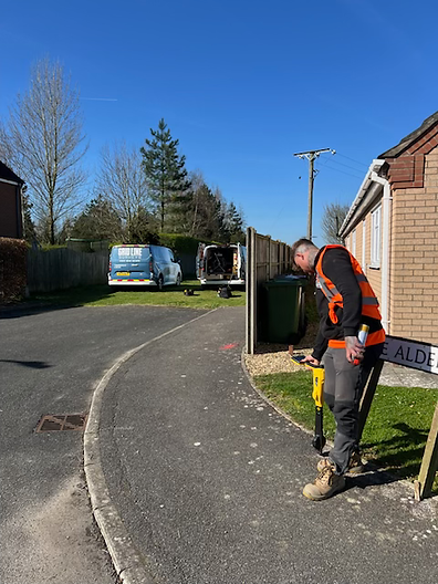
Understanding what lies beneath the surface is essential for safe and effective project planning. At Grid Line Surveys, we use advanced technologies including GPR (Ground Penetrating Radar) and EML (Electromagnetic Locators), following PAS 128 guidelines, to accurately detect and locate subsurface utilities such as pipes, cables, ducts, and drainage systems.
Our detailed survey drawings give designers and clients a clear picture of underground conditions, helping them plan, design, and manage projects safely.
bottom of page